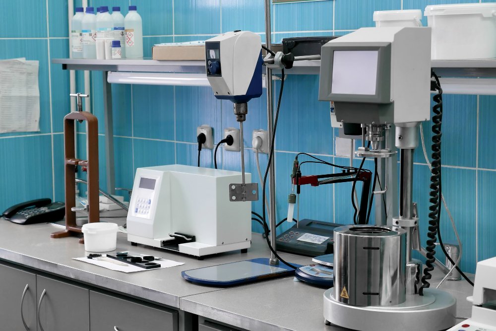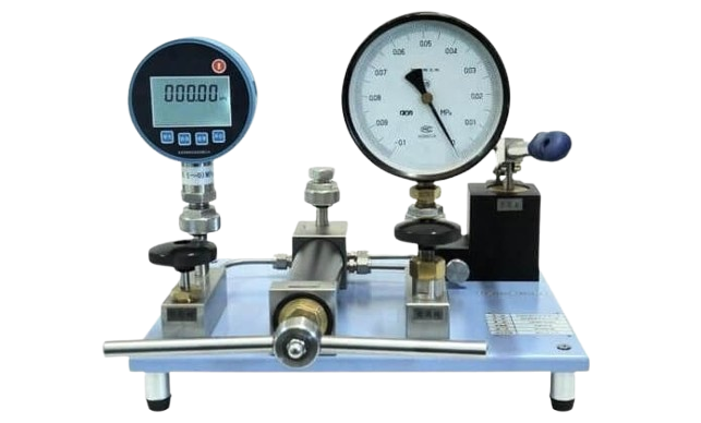
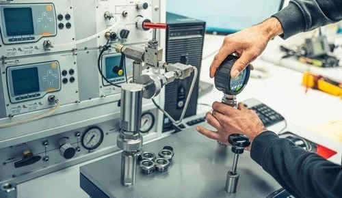
Calibration Services
NABL accredited calibration services for thermal, electrical, pressure, and analytical instruments ensuring accurate and traceable results.
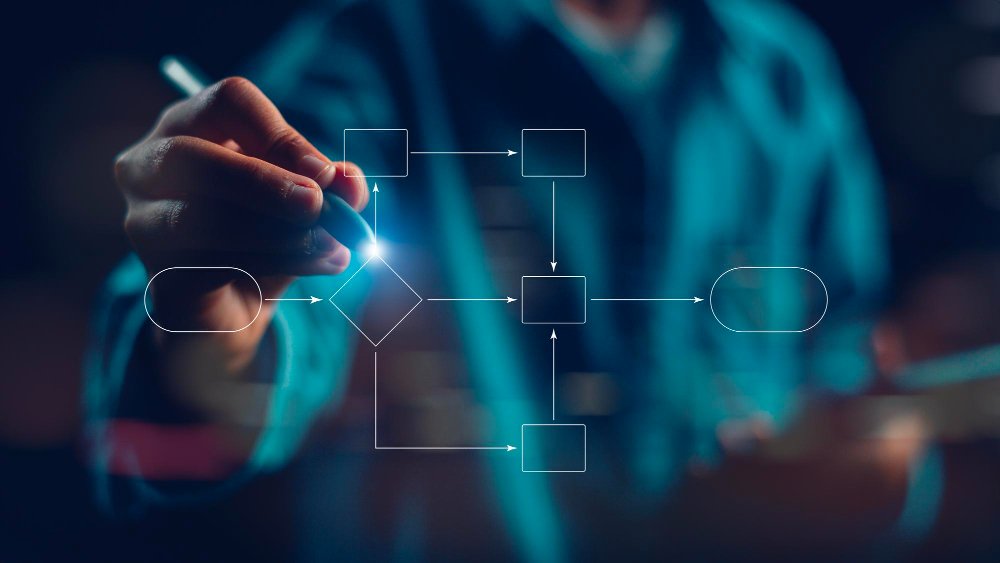
Validation & Mapping
Temperature & humidity mapping along with IQ, OQ, PQ validation services to meet regulatory and audit requirements.
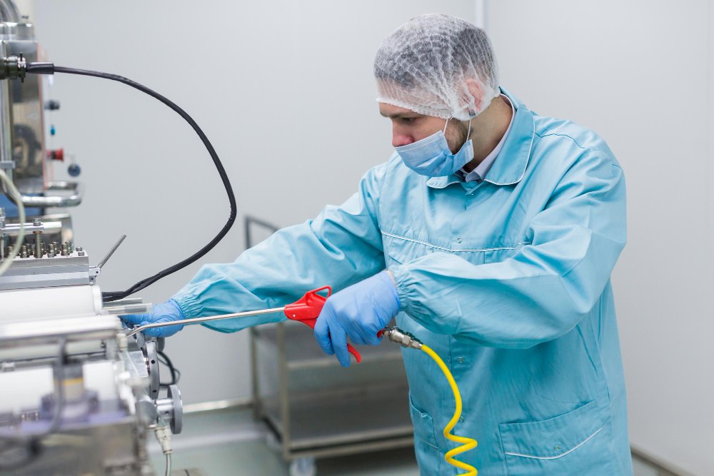
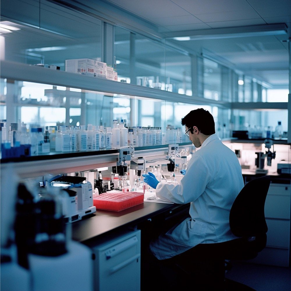
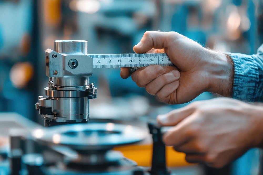
Repair & Maintenance
Reliable repair and preventive maintenance services to minimize downtime and extend equipment life.
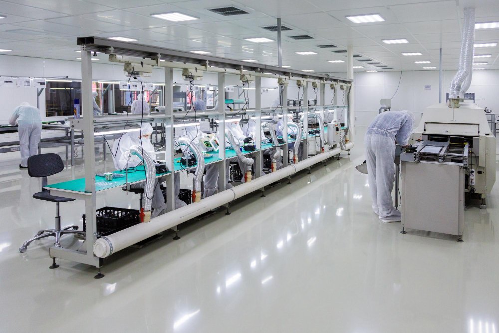
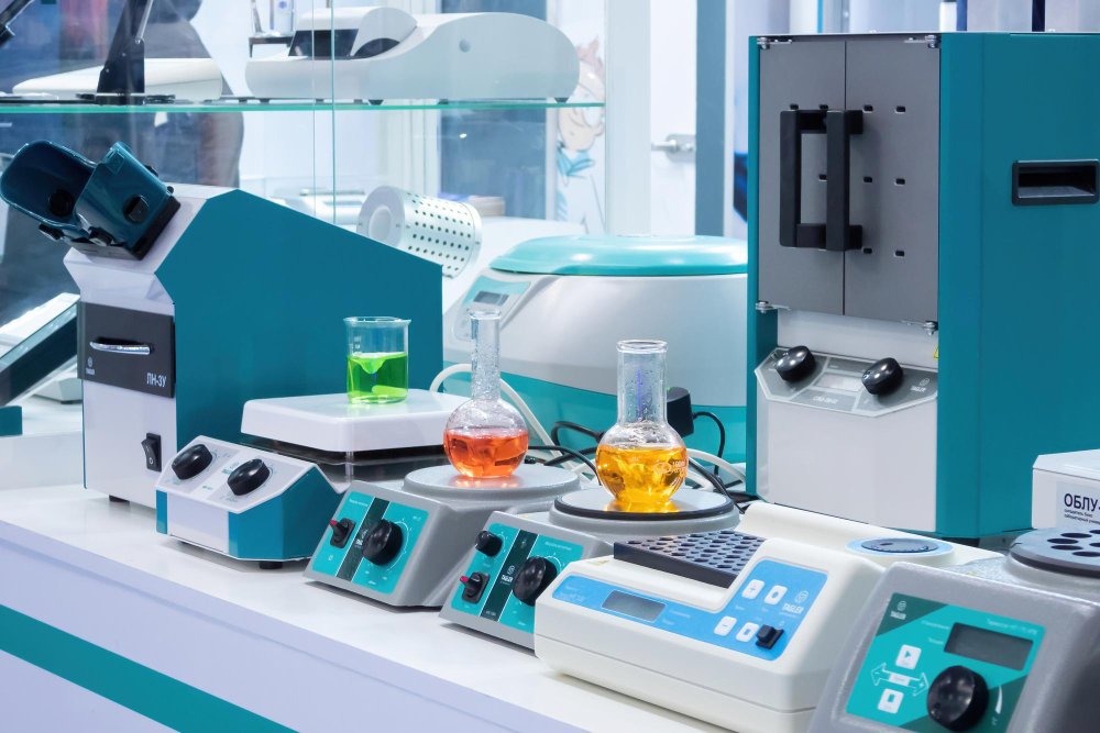
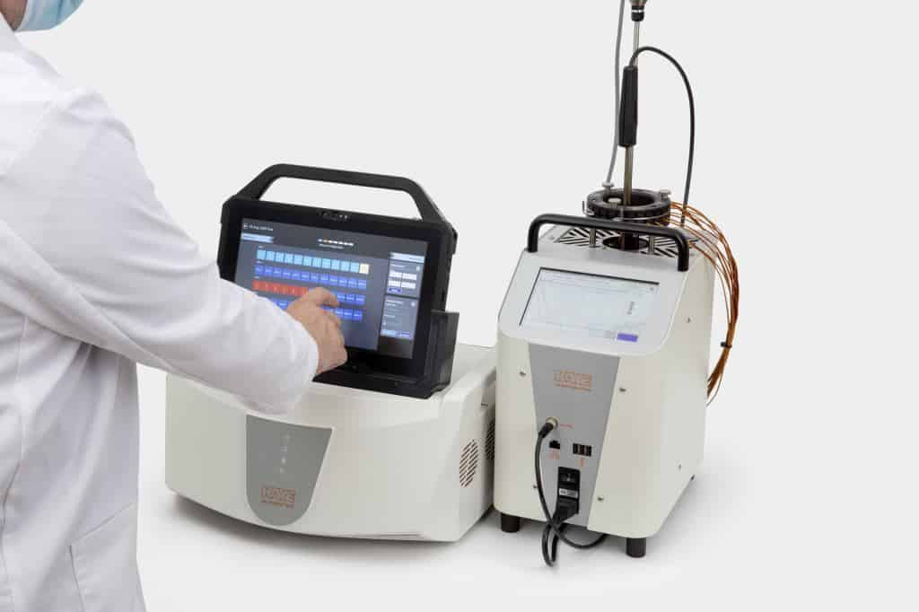
Equipment Supply
Supply of high-quality laboratory instruments including ovens, incubators, freezers, and analytical devices.